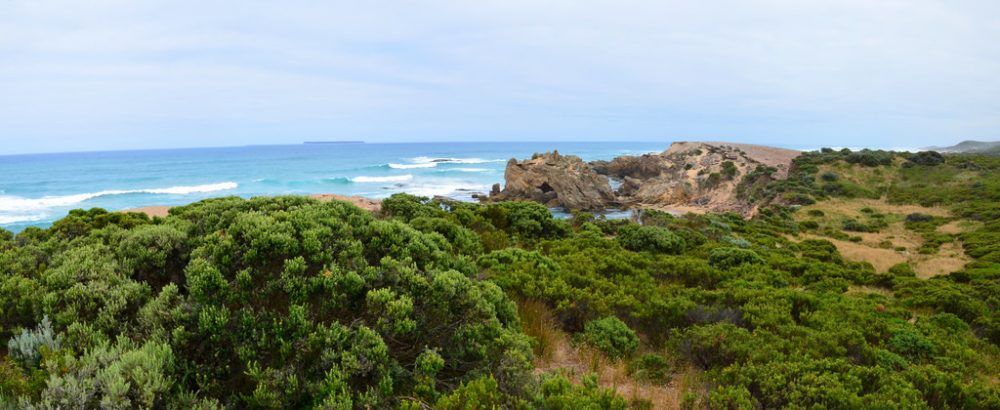
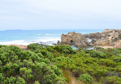
The Crags, located 12 km west of Port Fairy, features one of the most rugged, wild and scenic sections of the Victorian coast. From Port Fairy, drive west on Princes Highway and turn left into Crags Rd, which ends in a carpark (S38.37122 E142.11115), from which you walk about 2 minutes to the viewing platform.
An appreciation of why this area is named The Shipwreck Coast can be seen from the menacing rock formations jutting from the seabed as well as from the ferocious waves pounding the coast as seen in the following video.
120,000 year ago, the land here was underwater. As the ocean retreated, sand dunes formed. The sand gradually compacted and cemented to form a kind of limestone known as calcarenite which you see today in these cliffs and rock platforms.
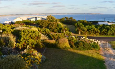
Lady Julia Percy Island, 6 km offshore, is seen as an elevated line above the sea horizon in the photo below. Formed by an undersea volcanic eruption 8 million years ago, it rose to the surface 6.2 million years ago and was connected to the mainland via a land bridge. It was only until 10,000 years ago that it became an island when the land bridge became submerged due to rising sea levels. The island was once twice as large as it is now, having been continually eroded by the sea. Its flat top has been created by horizontal lava flows and weathering. This is why it appears as a straight line from The Crags.
Lady Julia Percy Island is home to the world’s largest colony of Australian fur seals (estimated 27,000) as well as breeding colonies of little penguins (2000 pairs), short-tailed shearwaters (15,000 pairs). fairy prions (1000 pairs) and common diving petrels (1000 pairs). It is also occasionally visited by Australian sea lions and southern elephant seals. Many of the bird species can be viewed from The Crags as they move across the ocean in search of feeding grounds. The island’s aboriginal name is Deen Maar meaning “this man here“, which refers to Bunjil the Creator.
The area around The Crags is an important archaeological site with indigenous cultural sites listed on the National Estate. It is part of the traditional homelands of the indigenous Peek Whurrung speakers of the Dhauwurdwurung (Gunditjmara) Nation and has spiritual connections with Deen Maar Island, visited by the aboriginal people for ceremonial purposes and from which Bunjil left the world. Over many thousands of years, the coastal reserve was used as a place of gathering, ceremony and feasting for indigenous people. There were originally 6 aboriginal midden sites but these have been reduced to 4 due to trampling.
When we were walking back to the carpark, someone pointed to us a platypus hiding behind the bush. Unfortunately, I was not able to take any photo of the animal as it was very well concealed.

