Where is the best place to see the colours of Autumn? I do not know about Melbourne – I will greatly appreciate if someone can inform me of a good place in Melbourne. However, I do know that there is a place in Victoria that looks spectacular during Autumn and people specifically visit that place for the ambience. I am talking about the town of Bright in the High Country of Northeast Victoria, about 4 hours drive from Altona.
The colours are in their full glory during the Bright Autumn Festival which run from 29th April to 11th May this year. The dates change slightly from year to year so it is best to check the festival’s website. I visited Bright a week before the Festival with my mother before her scheduled return to Singapore. As a result, many leaves were still green but already I was stunned by the beauty of those tree foilages that had changed their colours. As I booked the accommodation only 2 weeks prior to the visit, I could only obtain weekday accommodation at the town of Porepunkah, which is about 5 minutes drive east of Bright. Although this is a nice town, I would still have preferred to stay in the centre of Bright where I can have access to the mesmerizing mosaic of colours right at my doorstep.
Unfortunately, it was raining throughout the 3 days that I was there and I often had to carry an umbrella while taking photographs. The photos would have turned out much better had it been sunny.
Directions to Bright
To go to Bright from Melbourne, drive northwards on the Hume Freeway, then turn right into the Great Alpine Road. You will be passing through Myrtleford. After passing through Porepunkah, you will come to a large roundabout, where one of the exit leads to Mt Buffalo National Park. Go straight.
Address: 7377 Great Alpine Rd, Bright
 |
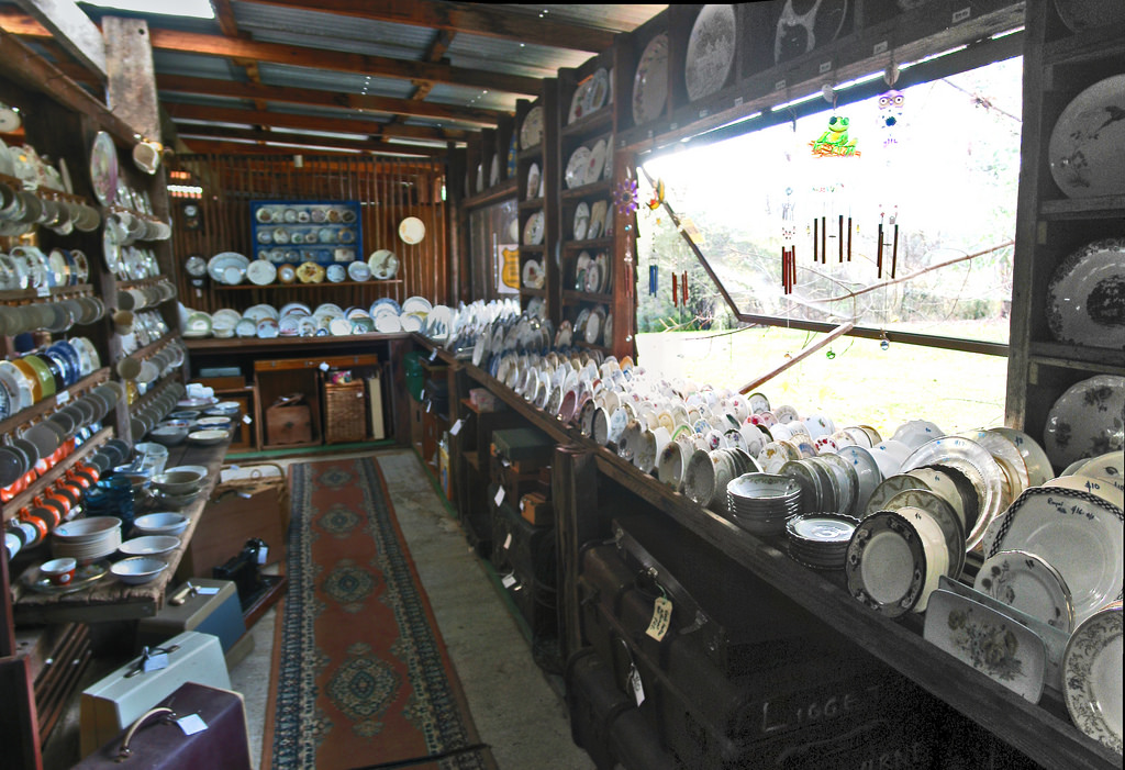 |
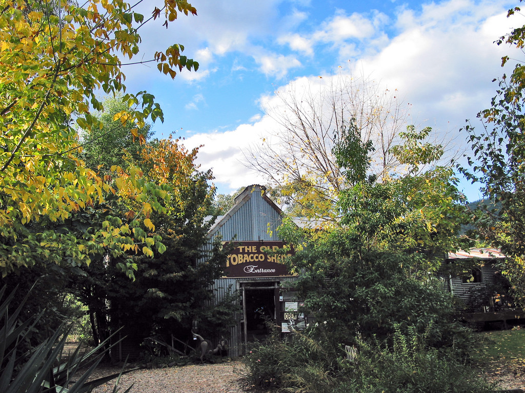
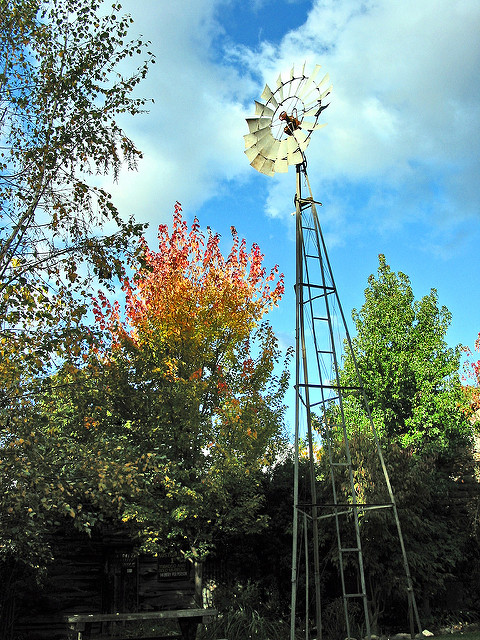
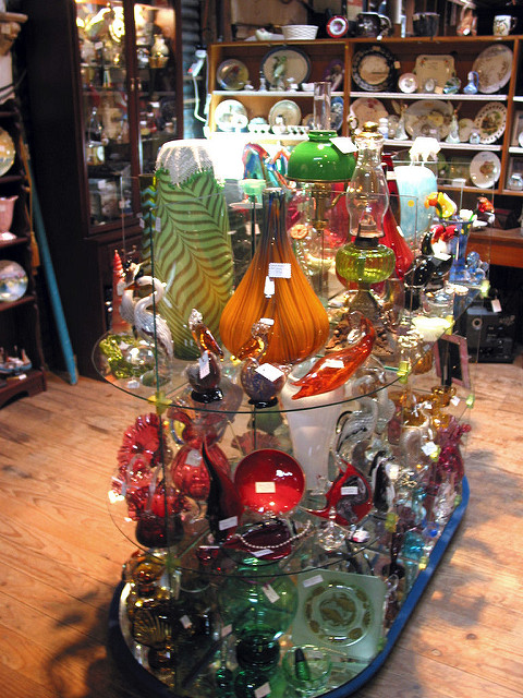
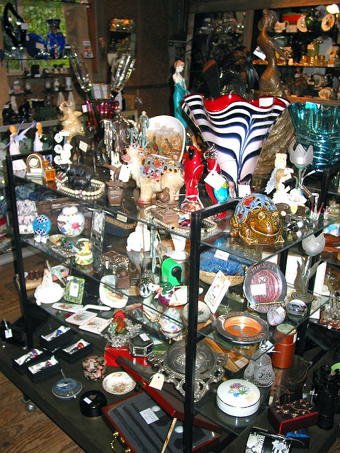
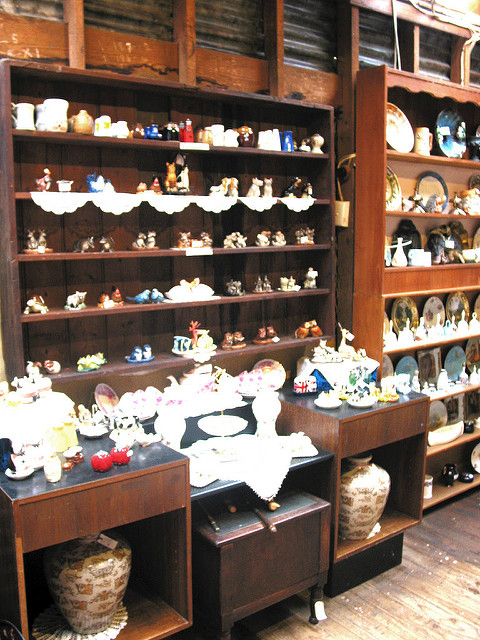
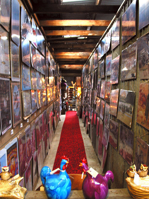
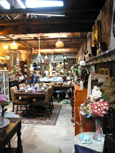
This is located on the left 500 metres prior to entering Bright. The Tourist Complex is comprised of the 26 Shops of Treasure, the Tobacco and Gold Museum, the Historic Hut, the Cafe, the Miners Hut and the Burley Shed. The shops sell a host of items such as antiques, bric-a-brac, collectables, books, records, art works, china and kitchenwares. Entry is free but you will need to pay a fee to visit the museum, which shows the history of gold mining and the tobacco industry in Australia. I did not visit the museum due to lack of time.
 |
 |
 |
 |
 |
 |
There is a prominent sign at the entrance advertising the sale of the lease of this tourist premise.
Streets of Colours
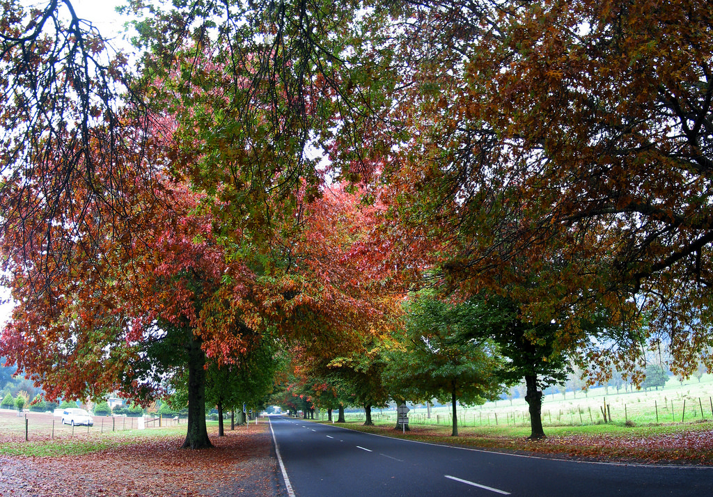
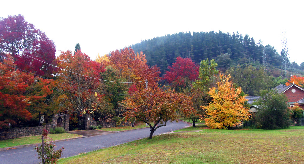
Visitors to Bright are greeted by rows of deciduous trees flanking the Great Alpine Road on its western entrance. I could not help parking my car by the side of the road to snap some photos.
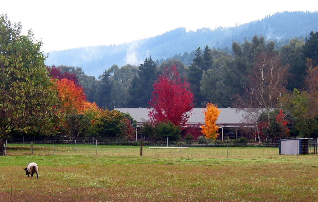
My behaviour is not unique as I discovered two days later people were setting up tripods at this stretch of the road. Directly on the left is a cattle farm where colours of crimson, brilliant orange, purple, green and the distant blue mountains shrouded in mist composed a picture-perfect setting.
This farm is also for sale. I had subsequently seen many other signs for sale. My mother thinks that people are selling to cash in on profits due to high buyer demand. I do not have the opportunity to talk to locals on whether this is the case or people are selling to get out of the Bright’s property market.
Not far further east on the left is Adina Lodge and an information shelter. You can see fabulous display of colours in front of Adina Lodge.
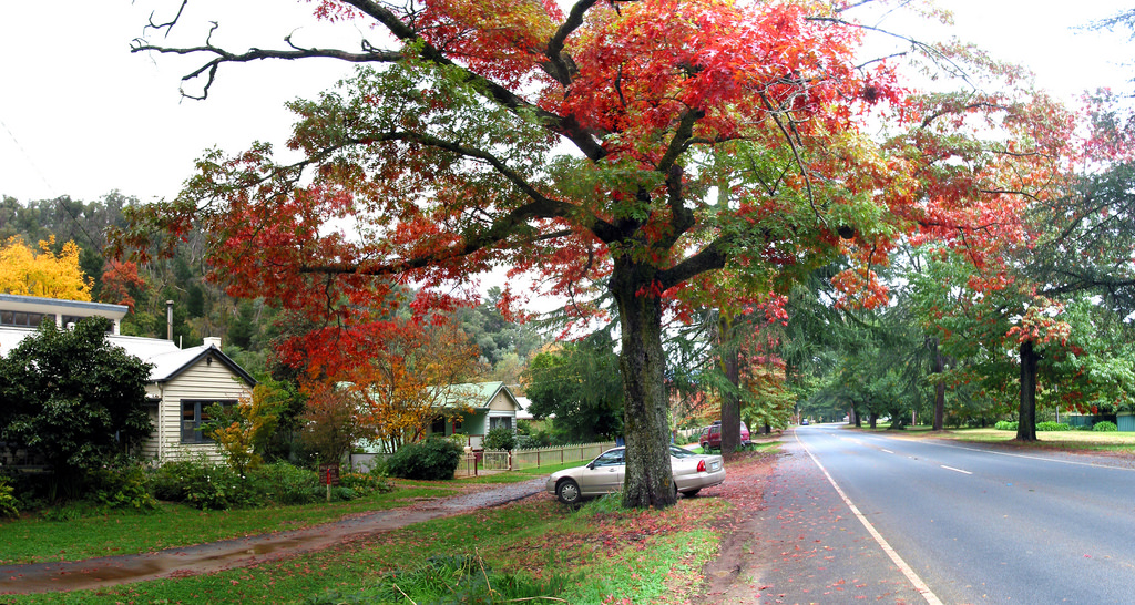
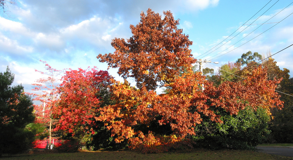
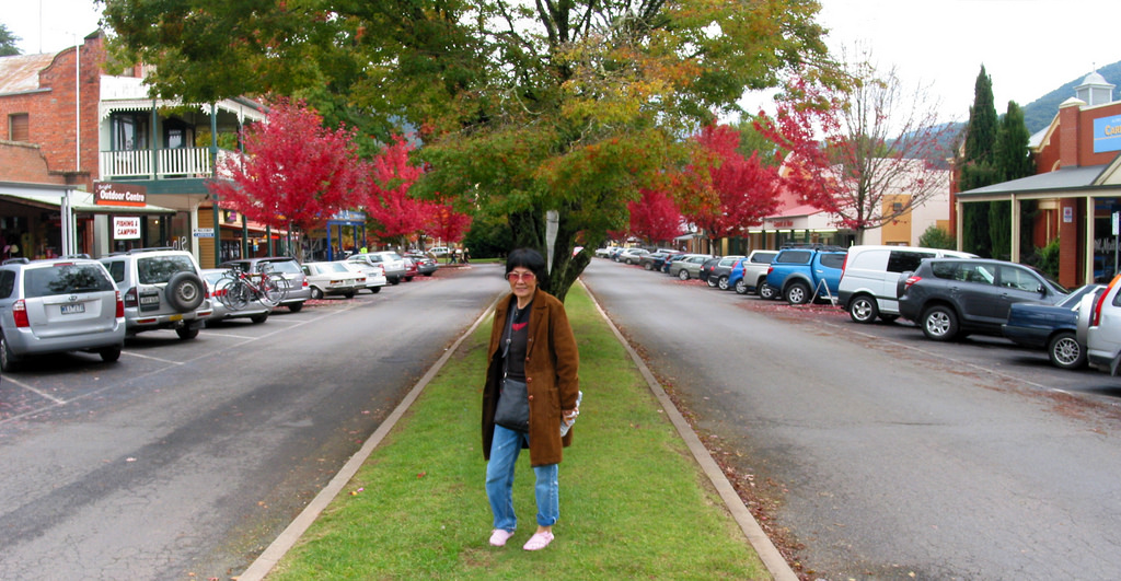
The Great Alpine Road continues as Gavan Street in Bright town centre, then as Delany Avenue before reverting to the Great Alpine Road again as it leaves Bright. Delany Avenue is supposed to be one of the best places to see autumn in Bright, where you can see burning red leaves of scarlet oaks alternating with the dark green of Himalayan cedar trees. However, the change in colours arrived later this year and many deciduous trees still appeared green.
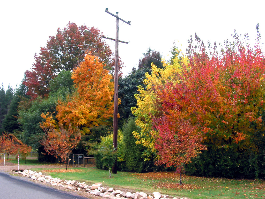
Sporadic outbursts of colours can be found in some side lanes of Delany Avenue, such as in Houghs Lane.
There is one street called Showers Avenue, whose trees probably heralded the arriving of Autumn earlier. This street is located between the north bank of Ovens River and Back Porepunkah Road.
I suspect the spectacle of colours in this street is no less impressive than that of the more well-known Delany Avenue.
Town Centre
When you arrive at Bright, I would recommend you to visit the Alpine Visitor Information Centre at 119 Gavan Street first, where you can obtain walking maps and other information on Bright and the surrounding areas.
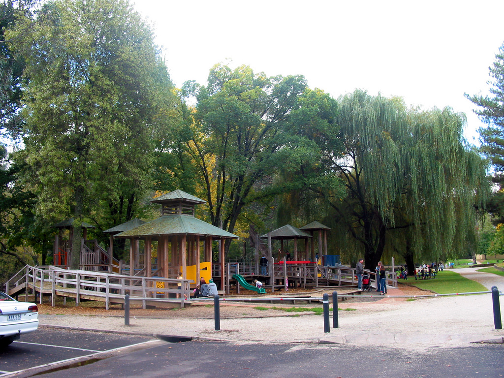
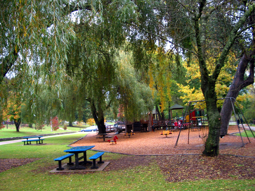
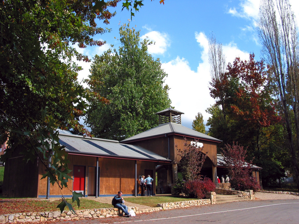
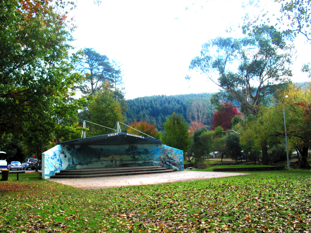
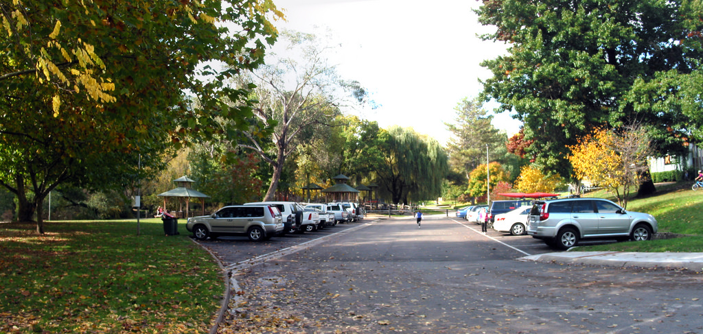
Directly behind the Information Centre to the north is a big carpark as well as Howitt Park on the western side and Centenary Park on the eastern side along the southern bank of the Ovens River, which runs through the town. Howitt Park has a playground, barbeque facilities, picnic tables, a shelter with toilets as well as a musical performance stage – the Sibley Soundshell. Both these parks are the centres of recreation in Bright.
 |
 |
 |
 |
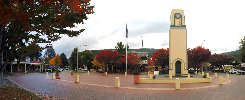
The commercial centre is the area around the War Memorial Clock Tower at Mafeking Square, with Anderson St, Ireland St and Camp St converging to a roundabout around the Square.
You can see spectacular colours along Anderson St, Ireland St and the roundabout.
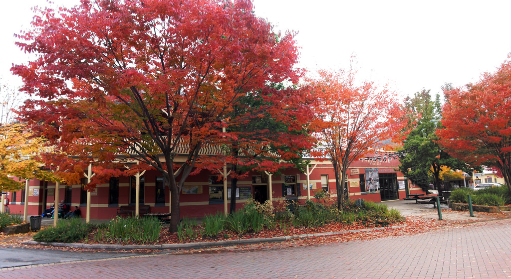
Anderson Street at the roundabout
Ireland Street was lined on both sides by flames of intense pink.
Cobden Street may be another street worth investigating, according to this information source.
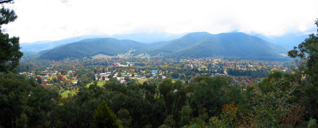
Huggins Lookout
The best way to view the town is from the various lookouts atop the surrounding hills. Due to limited time, I chose to visit Huggins Lookout which is the nearest to the town centre and which is accessible via car on a dirt road. A 4WD is not required. From Ireland St, drive south. After passing a roundabout, continue straight into Bakers Gully Rd, which becomes a dirt road after a short distance. Turn left into McFadyens Lane, which continues as Higgins Rd and you will eventually reach Huggins Lookout 460 metres above sea level overlooking the town.
Alternatively, you can take a 1.5 km or an hour return walking trail starting from the end of Deacon Avenue near the Stadium.
The Apex Lookout, accessible from Mt Porepunkah Road, supposedly offers a more breathtaking view of Bright. The Lookout will also reward you with views of Mt Feathertop, Mt Fainter and Mt Bogong, the highest peak in Victoria. However, I was told that a 4WD is required to drive all the way up there. Otherwise, you will need to park your car at Quinn’s Gap and take a 3 km, 2 hours return walking track.
Bakers Gully Reservoirs
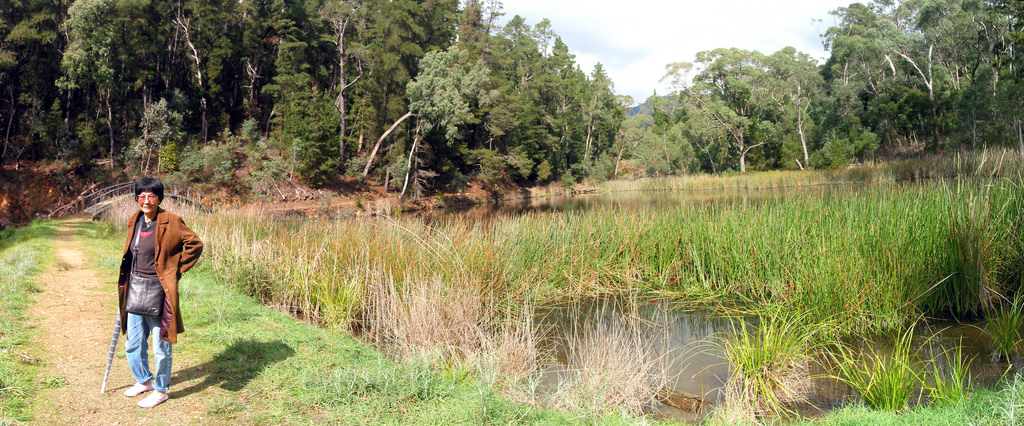
On the way to the Huggins Lookout, when Bakers Gully Road became a dirt road, you will come across an information board on the left with some space besides the road to park your car. This marks the start of the walking tracks to the Bakers Gully Reservoirs. You can easily miss this as there is no signpost.
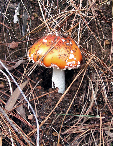
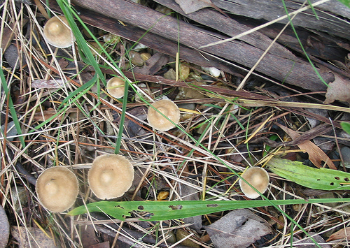 There are 2 reservoirs, a lower and an upper one. The first dam was built in 1892 and the second in 1916 to provide a permanent supply of water to the town. The reservoirs no longer provide water and are now home to platypus, tortoise, fish, frogs and yabbies. Lots of fungi grow among the leaf litter in autumn.
Ovens River
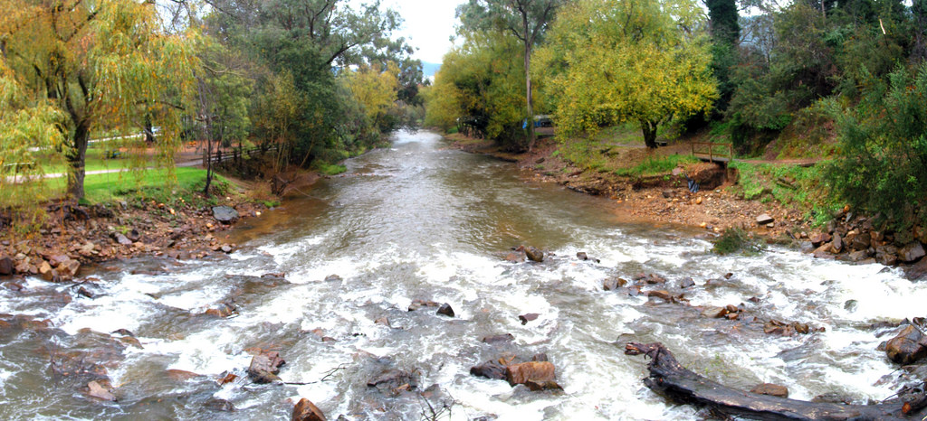
The Ovens River plays an important role in the history of Bright, where gold was being mined at the turn of the century after the discovery of gold in the Buckland Valley. Now it has become a key tourism resource of Bright, with abundant holiday accommodation and caravan parks both on its northern and southern banks. I would say that the economy of Bright is supported chiefly through tourism. Everywhere you go, you would see holiday accommodations, of which many are fully booked a few months prior to the peak season. The number of tourists would probably outnumber the number of locals during such periods. I believe European deciduous trees were specifically planted in the area to attract tourists during autumn for their amazing myriad of colours.
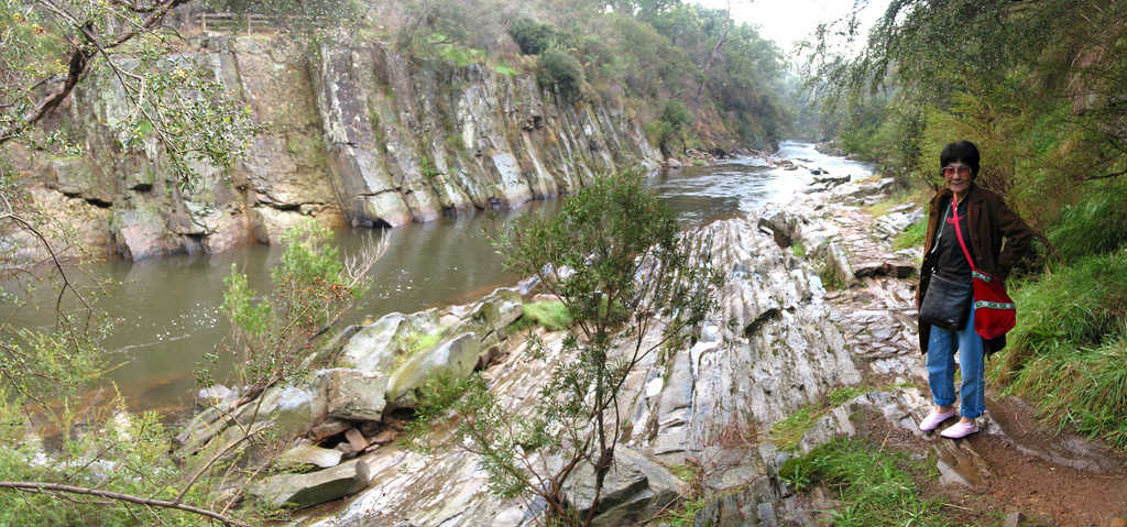
Canyon Walk and Cherry Walk are the two walks along Ovens River, on its western and eastern side respectively. Both walks are 3 km return, each taking one and a half hour to complete. I only have the time to do the Canyon Walk, which is the most popular walk in Bright.
The Ovens River downstream from Bright passes through a staggering canyon, with sheer cliffs up to 15 metres high. The Ovens River shifted to one side of the valley and cut deeply into the bedrock, forming a canyon and leaving gold-bearing gravels from earlier flows stranded high above the water course. The “ribbons” of rock you see above the waterline are the layers of steeply-dipping bedrock when the river runs high.
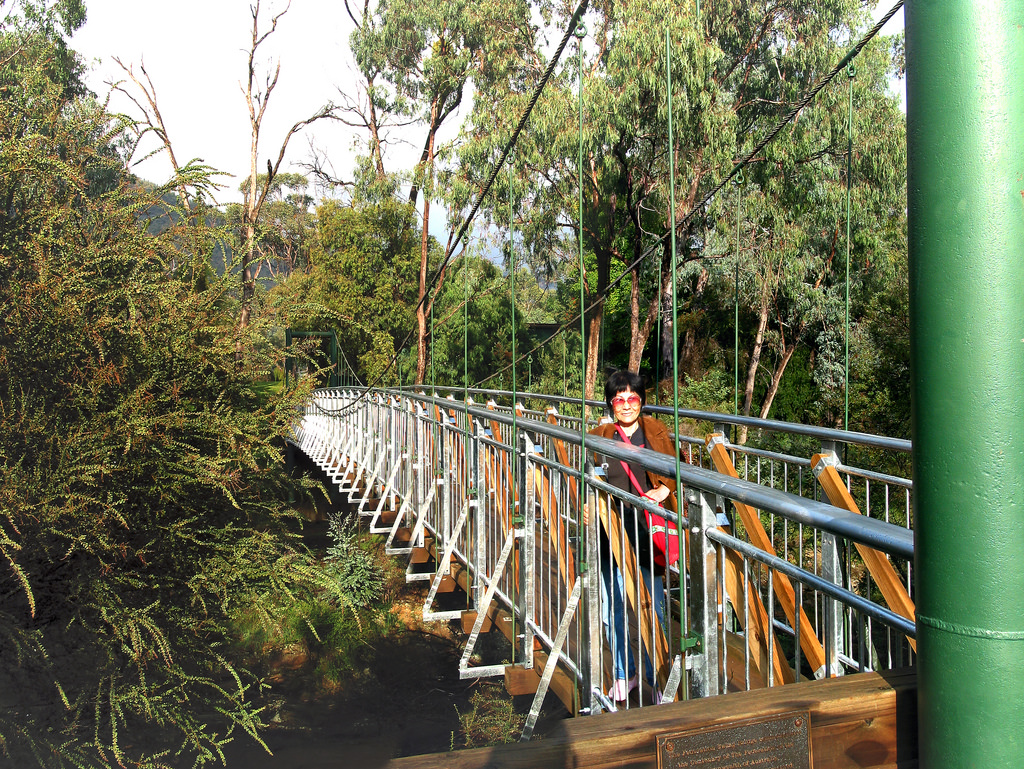
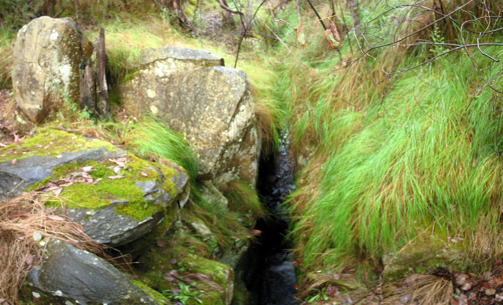
There are two suspension bridges across the river. You can cross the bridge closer to the town for a shorter loop return or cross the most distant bridge if you wish to see the canyon and tail races. Tail races are deep, narrow slots or trenches in the solid bedrock cut by hand by early gold miners at right angles to the river, to flush tailings (treated earth and gravel) away from their workings which were some distance away from the river, on the river flats. The deeper the race, the further the mining site was from the river. There are several tail races along the southern banks between the two bridges.
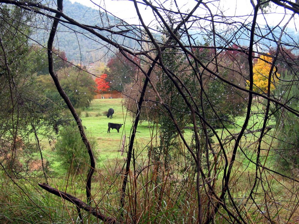
From the Canyon Walk on the southern bank, I caught glimpse of a cattle farm, probably near Frasers Lane, through the dew-covered thorns and bushes. I thought this composition is interesting so I am posting it here.
From Bright, there are many places that you can go and many activities that you can do. Nearby places include:
- Mount Buffalo National Park
- Towns of Wandiligong, Harrietville and Porepunkah
- Red Stag Restaurant/ Deer & Emu Tourist Farm
- Wandiligong Maze and Cafe – Australia’s largest living hedge maze
- Ringer Reef Winery
- Bright Brewery
If you go further east, you will reach Mt Beauty and Falls Creek.
Reference

Interesting post – will have to put it down as a place to visit!
Gosh – I'm late to your blog. The pictures are stunning. I am going to stop what I was in the middle of doing when I get distracted, and have a proper look through your site. Thanks for the inspiration.
WOW, what a great post on Bright Victoria, thank you. Some great pictures as well which really capture the turning of the season. Hope to see you back soon. Jamie
Picturesque Bright is a small town close to the Victorian Alps with a population of less than 3000 people. Bright is located about 3 hours and 45 minutes northeast of Melbourne along the Great Alpine Road, which winds through mountains, valleys and forests, and past rivers, vineyards and farms, making getting there a joy in itself. Bordering Mount Buffalo National Park, Bright offers a cozy getaway to majestic Alpine scenery with a variety of birds and other animals.
Bright Accommodation
yes great pictures of a stunning area
Very informative, I was looking for a place to go with my wife and three children for the Queen's B'day holiday. See that this area would be excellent for a day or two trip, if I can get accommodation. Thank you for the information.
Great blog. Glad it still exists. Very inspiring. Thanks for your efforts in uploading photos