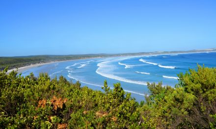
The original Aboriginal inhabitants of the area were the Kurnai people. Aboriginal legends about the formation of the lakes centre on a frog that once swallowed all of the world’s water. The other animals united in their efforts to make the frog surrender the water by making it laugh. All deliberate attempts at humour failed but the sight of the eel upright on its tail caused hilarity and the subsequent outpouring of the waters is said to have created the lakes. The Aboriginal settlements leave behind in the lakes many archaeological sites, including shell middens, scarred trees, occupation sites, burials and axe-grinding grooves.
Angus McMillan was the first European to investigate the area, arriving at Lake Victoria in 1840. John Reeves charted the lakes in 1843 and cattle runs were established soon after. Ewing’s Marsh is named after the Ewing brothers who took up one such run around what is now Lakes Entrance in 1850. It was sold to the Roadknight family in 1855. Three years later, the Georgina Smith became the first large vessel to find its way into the lakes from the ocean, sailing up the Tambo River to Massiface with supplies for the Crooked River goldfields.
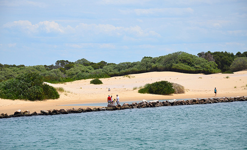
The lakes were formed by two principal processes. The first is river delta alluvial deposition of sediment brought in by the rivers which flow into the lakes. Silt deposited by this process forms into long jettys which can run many kilometres into a lake, as exemplified by the Mitchell River silt jetties that run into Lake King. The second process is the action of sea current in Bass Strait which created the Ninety Mile Beach and cut off the river deltas from the sea.
Once the lakes were closed off, a new cycle started, whereby the water level of the lakes would gradually rise until the waters broke through the barrier beach and the level would drop down until it equalized with sea-level. Eventually the beach would close-off the lakes and the cycle would begin anew. Sometimes it would take many years before a new channel to the sea was formed and not necessarily in the same place as the last one.
In 1889, a wall was built to fix the position of a naturally occurring channel between the lakes and the ocean at Lakes Entrance, to stabilize the water level, create a harbour for fishing boats and open up the lakes to shipping. This entrance needs to be dredged regularly, or the same process that created the Gippsland Lakes would render the entrance too shallow for seagoing vessels to pass through.
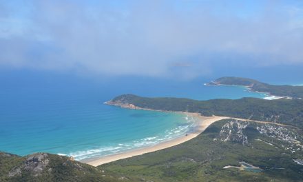
The lakes support numerous species of wildlife and there exists two protected national parklands, covering 17880 hectares: The Lakes National Park and Gippsland Lakes Coastal Park. The Gippsland Lakes wetlands are protected by the international Ramsar Convention on wetlands. There are approximately 400 indigenous flora species and 300 native fauna species.
The lakes are home to about 50 of the recently described species of Bottlenose dolphin, the Burrunan dolphin (Tursiops australis). The other 150 or so of this rare species are found in Port Phillip.
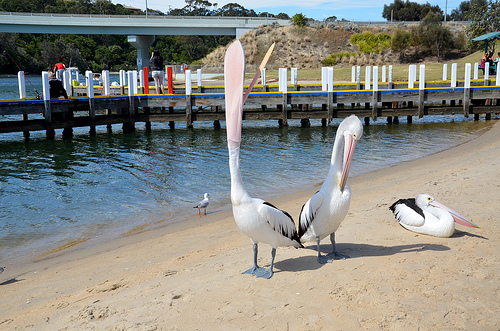
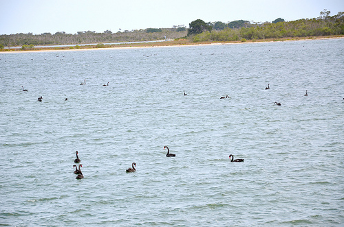
Owing to the permanence of the main lakes and the reasonably regular flooding of the adjacent wetlands, the ecosystem is an important habitat for over 40 000 ducks, swans, coots and other waterbirds, particularly in periods of drought. Lakes Wellington, Victoria and King are permanent deep saline wetlands supporting populations of migratory seabirds, including the little and fairy terns. Lake Reeve is an extensive intermittent saline wetland of international zoological significance which provides a highly significant habitat for up to 12000 migratory wading birds, making it one of the five most important areas for waders in Victoria.
Other noted bird populations exist at MacLeod Morass, Sale Common, Clydebank Morass, Dowd Morass, Jones Bay and Lake Bunga. The latter is a relatively small coastal wetland that is fresh to brackish, supporting waterfowl, little tern, hooded plover and the white-bellied sea-eagle. Other good birdwatching sites to the north are Blond Bay State Game Reserve, located behind Lake Victoria, and Colquhoun Forest.
Vegetation around the lakes is varied, including swamp paperbark, reed and salt-marsh vegetation such as glasswort, shore rush, sawsedge and salt grass. Three plants, two of them being orchid species, are listed as endangered.
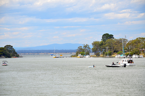
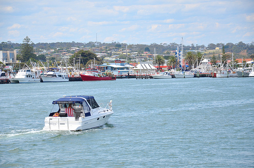
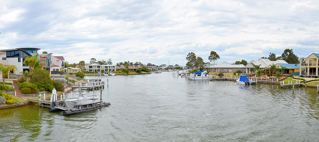
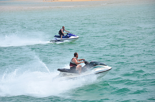
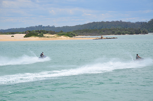
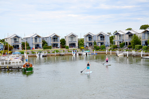
Parts of the Lakes system are heavily used for commercial and recreational fisheries and for other water-based recreation, while the immediate hinterland has been developed for agricultural uses and limited residential and tourism purposes.
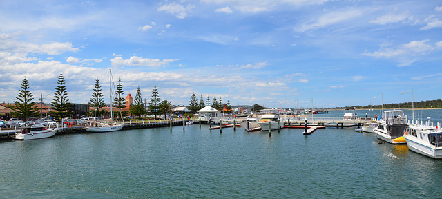
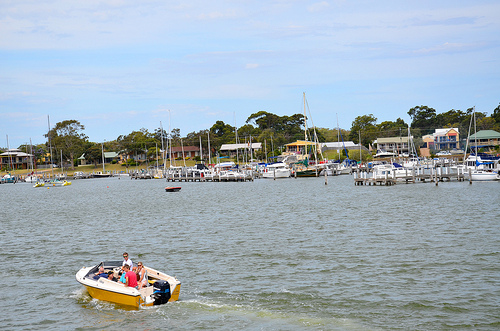
Almost all of the lakes are accessible by boat and boat-launching facilities are available at Hollands Landing, Loch Sport, Paynesville, Eagle Point, Toorloo Arm, Mill Point, Seacombe, Goon Nure, Lakes Entrance, Nowa Nowa, Lake Tyers, Nungurner, Metung, Nicholson and Johnsonville. Fishing trips and boating tours of the lakes and rivers are available from Paynesville and Lakes Entrance.
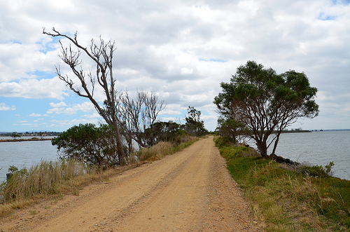
At the present time, salinity (caused chiefly by the alteration of the ocean outlet) is destroying shoreline vegetation which, in turn, is causing shoreline erosion and thus accelerated deposition in the lakes. Vegetation changes are also depleting the wetland fauna, including some endangered bird species and the breeding habitats for some fish species. Moreover, wind-borne salt is affecting vegetation near the shoreline and destructive algal blooms have become a recurrent problem. Industrial and domestic waste disposal, run-off and a sewage treatment works are also affecting the waterways.

