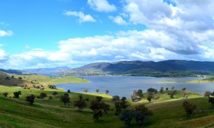
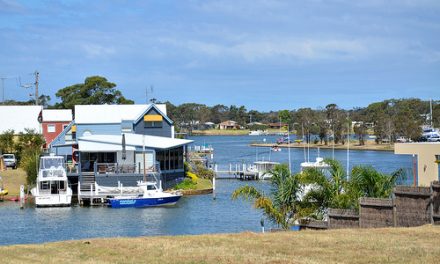
According to Gunai legend, Narkabungdha, the sea, was tired from playing with fish, rushing over rocks and rolling backwards and forwards on the sand. He searched the coast for somewhere to rest. At last he found a quiet place with tall gum trees for shade and soft earth to lie on. Narkabungdha lay down to sleep. He wriggled down into the soft sand, turning his body this way and that until he was comfortable. This place became Bung Yarnda or Big Waters, a place where Narkabungdha still rests among the trees.
The scientific explanation for the formation of the lake is compatible with the story of Narkabungdha, but less colourful. According to geologists, Lake Tyers is a buried river created in the last Ice Age about 10000 years ago. As ice caps and glaciers melted and flowed to the sea, the river disappeared under the rising water and a lake was created.
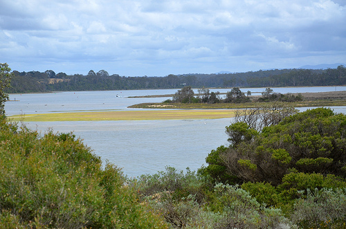
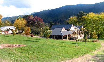
Gradually great sand dunes formed, cutting the lake off from the sea. The edges of the newly-formed lake followed the curves of the hillsides, creating wavy fingers of land that protruded into the water. The largest protrusion is the peninsula that forms the Aboriginal reserve in the heart of the Lake Tyers Forest Park. Striking views of the partially-cleared peninsula and of its historic buildings clustered around the pretty 1878 timber church, can be glimpsed from the shore of the lake in some parts, and of course from the water.
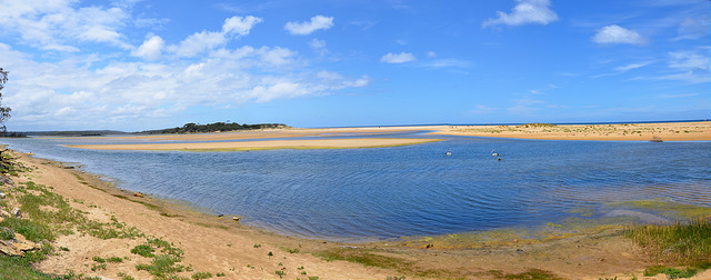
Surrounded by forest, Lake Tyers is one of the most picturesque of the Gippsland Lakes. Covering an area of about 16 square kilometres, it is the smallest lake and is not connected to any other lake or river.
Lake Tyers is periodically closed to the sea by a sand bar which was once used as a crossing for stage coaches on the Lakes Entrance to Orbost run. Lake Tyers naturally opened to the sea in June 1998, with the estuary closing again by January 1999. It opened up again on 26 June 2007 after 9 years and stayed open for 6 months. The entrance was artificially opened in 2002 when rising waters threatened nearby infrastructure and property but closed naturally in January 2003.
Lake Tyers offers some of the best fishing in the region, mostly bream, luderick, flathead and garfish. The two main arms, Toorloo and Nowa Nowa, provide the most productive fishing spots. Small boats can be launched from Nowa Nowa and full boat-launching facilities are available at the Lake Tyers township.
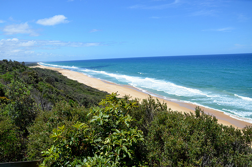
There are various walking tracks including cliff top walks with vantage points for whale or seal watching during winter in June-July. Here is a map and details of the various walks.
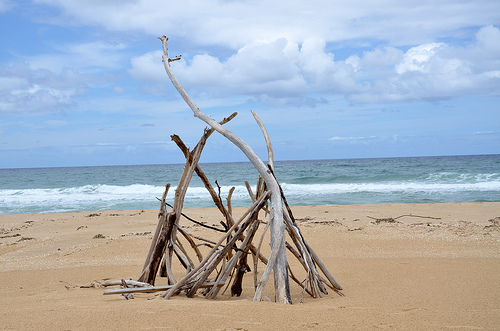
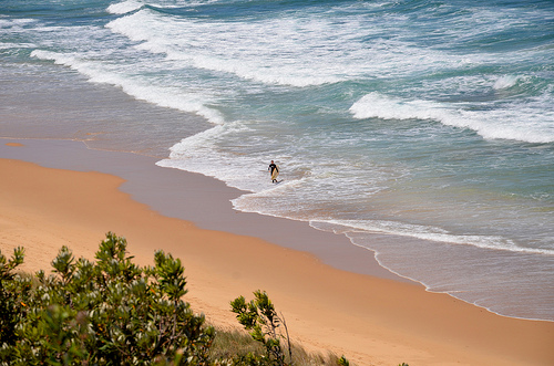
To go to Lake Tyers Beach, drive northeast out of Lakes Entrance on the Princes Highway. Large signs direct you to turn right into Lake Tyers Beach. After turning right, follow the main road and you will come to a sign for Red Bluff. Red Bluff/Shelly Beach (GPS -37.865952, 148.064652) is a stretch of ocean beach located beneath a rocky headland within walking distance of the lake’s sea entrance. This is the most renowned surfing spot in the region due to the off-shore reef building up the swell. This beach has no life saving patrols and is a dangerous beach so be aware.
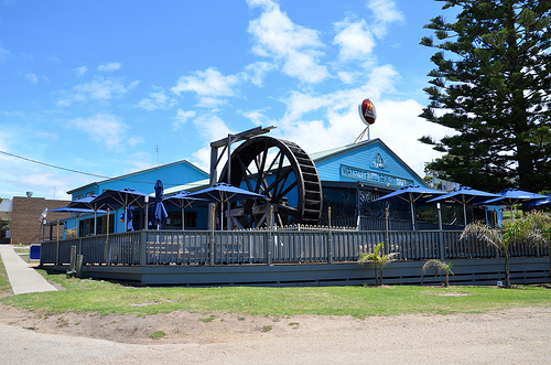
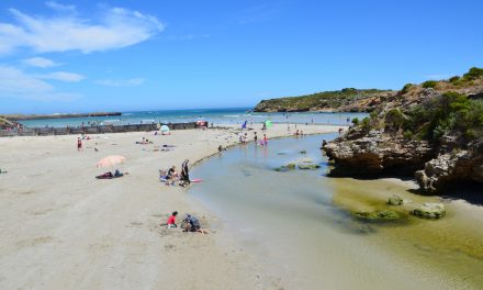
Continue to the end of the main road and you arrive at the car park (GPS -37.857143, 148.085966) and Lake Tyers Waterwheel Tavern, the only eating place in the township. The lake and beach is accessed from here. Unlike Red Bluff, Lake Tyers is sheltered by sand dunes so is ideal for kids and adults alike. Its shallow warm waters give hours of joy for the kids.
Another recreational area is the 7100-hectare Lake Tyers State Park which extends from Lake Tyers Beach to Mount Nowa Nowa. Lake Tyers offers a number of areas for picnics, beautiful bush walks, forest drives, fishing and bush camping.

